
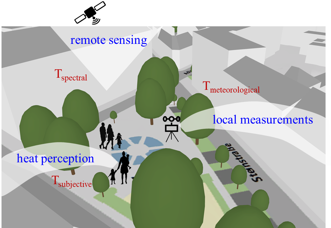
Project Description
Since the beginning of the 20th century, numerous studies have focused on the question of how to determine and evaluate thermal comfort in urban living spaces in view of the rise in temperature caused by climate change. Most studies combine three methods: a) on-site meteorological measurements, b) thermal indices derived from these measurements and c) social research methods with regard to personal thermal perception - taking into account other factors such as the sky-view factor, local building structures or weather conditions (Steward & Oke 2012, Johansson et al. 2014). By comparing the results of the survey (actual perception of warmth) and the calculated indices (Wang et al. 2023), the latter could be further optimized. The methodology is now advanced and individual strengths and weaknesses of the indices are known, so that a standardized procedure combining them has been proposed (Johansson et al. 2014, 2018). However, there is one inherent limitation: the method is limited to local surveys of individual squares, street canyons, blocks of flats, etc. A method for evaluating entire cities, which consist of a small-scale mosaic of very different micro climates in the areas where people spend time, does not yet exist. The next step towards an area-wide survey is therefore to combine the existing method with remote sensing data or orthophotos.
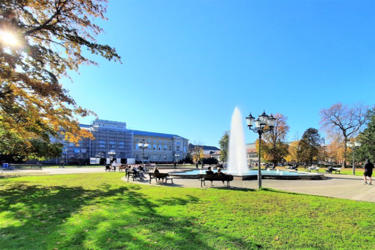
Taking into account the existing knowledge of the effect of different thermal indices, the knowledge of the human body's reaction to various meteorological stimuli is used to derive the "thermal well-being" or the "perceived temperature" of people with the help of physical data. Public spaces such as urban squares and pedestrian areas in Karlsruhe are the focus of the planned study. The indices will ultimately be used to recognize dangerous situations and issue appropriate warnings to the public.
References
- Johansson, Erik; Thorsson, Sofia; Emmanuel, Rohinton; Krüger, Eduardo (2014): Instruments and methods in outdoor thermal comfort studies – The need for standardization. In: Urban Climate 10, S. 346–366.
- Johansson, Erik; Yahia, Moohammed Wasim; Arroyo, Ivette; Bengs, Christer (2018): Outdoor thermal comfort in public space in warm-humid Guayaquil, Ecuador. In: International journal of biometeorology 62 (3), S. 387–399.
- Stewart, I. D.; Oke, T. R. (2012): Local Climate Zones for Urban Temperature Studies. In: Bull. Amer. Meteor. Soc. 93 (12), S. 1879–1900.
- Wang, C., Zhan, W., Li, L., Wang, S., Wang, C., Miao, S., Du, H., Jiang, L., & Jiang, S. (2023): Urban heat islands characterized by six thermal indicators. In: Building and Environment, 244, 110820.
Associated institute at KIT: