Aim and objective of "Wettergefahren - Frühwarnung"
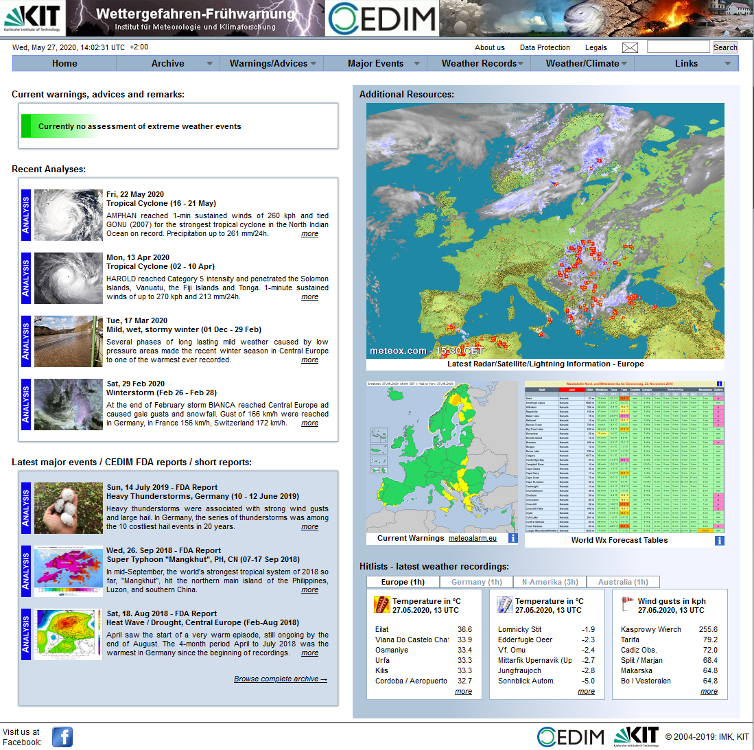
The online information service "Weather hazards - early warnung" (Wettergefahren-Frühwarnung) provides information about current or future extreme weather events on a daily basis. The websites are constantly available and updated several times per day if required. Routine operation started on 1st of February, 2004, and was continuously maintained. Although the main focus is on events in Middle Europe, even floods due to heavy monsoon rains in Southeast Asia, for instance, or abnormally heavy onsets of winter in New Zealand are taken into account.
Extreme weather events include:
- (Intense) Low-pressure systems that present a significant hazard for the inland or coastline.
- Weather conditions in summer favorable to widespread and heavy thunderstorms.
- Extreme precipitation events with flooding (e.g., caused by intensive continuous rain, snow melting)
- Extreme warm periods and cold spells, as well as weather events leading to large temperature deviations from the longterm mean or resulting in hazards for agriculture (e.g. late frosts, early onsets of winter, droughts)
- Tropical cyclones (hurricanes, typhoons) and tropical storms or depressions, in case they cross inhabited islands or hit the shore in a populated area.
- Other events, such as volcanic eruptions, forest fires.
From Early Warning to Analysis
Decisions are made based on model outputs of various global (mainly of the American GFS model) and partly also regional models. These calculations are available online and used operationally by the national weather service and other institutions. If there is an extreme weather event, suggested by the model forecast and verified by an authorized person, a pre-warning or a warning is formulated one to four days prior to the probable date of event. It contains information which areas can be affected and what they have to prepare for. These warnings are updated daily, in special cases even several times per day. Approximately one to three days after the event a detailed analysis is available. In an extensive article, readers may receive comprehensive information in terms of data, pictures, and maps. All warnings, notes and extensive analyses are constantly archived.
Routine Operation and the Visualization Tool
In addition to a daily observation and assessment of weather events worldwide, routine operation includes the generation of particular maps and images. For this purpose, more extensive and complex programs have been developed in recent years, which by now produce, four times a day, hundreds of special maps for the whole world. Merging these maps with google maps allows a completely new and convenient navigation. Thus, putatively vulnerable areas or cities can be identified directly.


