
CEDIM/Risklayer Explorer
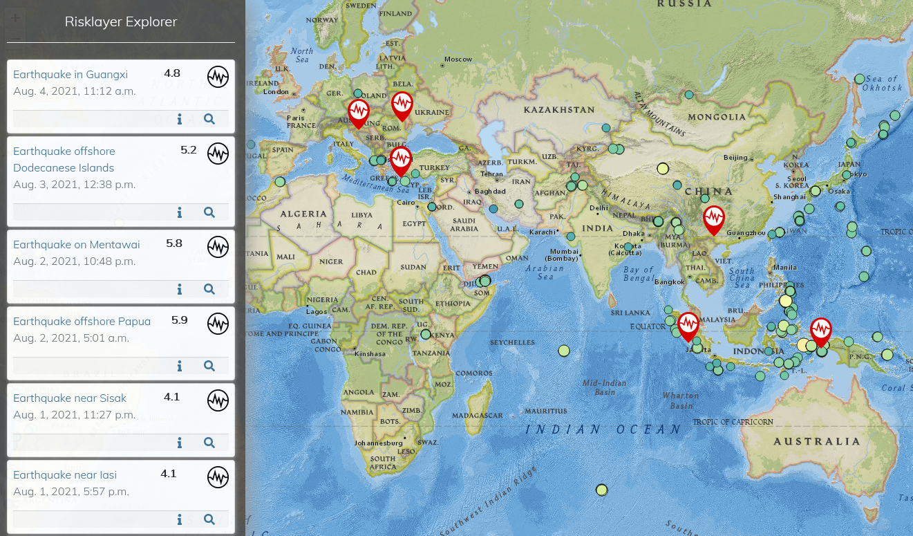 For risk management purposes, information on current events and long-term hazard and risk statistics is needed that is as accurate, valid and up-to-date as possible. In cooperation with the CEDIM spin-off Risklayer GmbH the CEDIM/Risklayer Explorer has been developed (https://www.risklayer-explorer.com), which summarizes CEDIM's previous work and real-time analyses of current disasters. Scientists, actors in disaster management, decision makers and the interested public can obtain detailed information in the form of easy-to-read metrics, detailed reports and graphics (currently mainly earthquakes & tsunamis; will be successively extended to other events).
In the context of the Corona pandemic 2020/2021, the platform was launched in advance in order to make the current development of Corona case numbers and many other data available to the public in interactive maps, both regionally for Germany and globally. The CEDIM and Risklayer team uses official statistics from governments and health ministries, in Germany directly from the data of the health authorities. Using crowd-sourcing, the latest data are collected with the help of a large number of volunteers, quality-checked several times, and transferred to the platform. For Germany, the platform provides information on infection numbers, seven-day incidences, mortality and lethality rates as well as convalescence numbers at the county level. They are used by numerous media (e.g. ZDF, Tagesspiegel, mdr), initiatives (e.g. NoCovid) and by politicians (e.g. various federal ministries).
The CEDIM Risklayer Explorer is currently still under development and will be continuously expanded. In spring 2021, the map series created as part of the CEDIM Research Focus Risk Map Germany was also integrated (the so-called CEDIM Risk Explorer Germany, Müller et al., 2006; https://www.risklayer-explorer.com/cedim_explorer).