
Waldbrandrisko in Süddeutschland
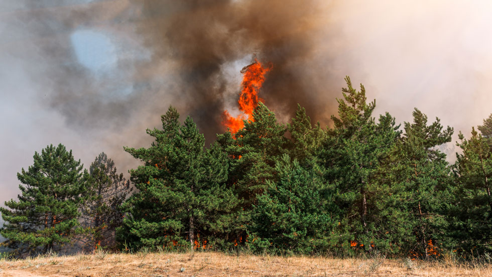
For decades, large-scale wildfires were more of a problem for Mediterranean countries like Portugal, Spain, France and Greece. However, due climate change the occurrence of prolonged drought events and the associated wildfire risk is also increasing in Germany. In 2018 and 2019, a particularly high number of wildfires occurred, some of them were extensive and affected several hundred hectares of forest. In 2019 alone, more than 1,500 wildfires with a total affected area of more than 2,700 ha were recorded. This resulted in an estimated financial loss of 2.22 million euros (BLE 2020).
For the next decades, risk assessments predict that wildfire risk will continue to rise in Germany. This is based on increasing temperatures and declining precipitation in the spring, summer and autumn months. As forest ecosystems have essential supporting, provisioning, regulating and cultural functions in the field of ecosystem services, they play an essential role in densely populated countries like Germany. Therefore, we want to develop suitable risk models or vulnerability functions to determine risks and forecasts that can help to derive measures for wildfire prevention. In this way, it is hoped to reduce the occurrence of wildfires in the future, thus, to protect and preserve the forest.
To this end, we will mainly focus on the southern regions of Germany which are forest- and deadwood-rich. At first, a suitable data basis for the subsequent development of vulnerability functions or a risk model will be created. For example, a loss database has been developed to collect historical wildfire events in Germany. So far, more than 200 events have been recorded that occurred throughout Germany.
Further aspects that will be covered in this project as part of the data basis for the development of vulnerability functions or a risk model:
- Classification of available fuels using land use maps based on satellite imagery (cf. Fig. 2)
- Topography using high-resolution digital terrain models
- Climate data and implementation of climate models that consider climate change and the change in the Fire Weather Index
- Review of open source fire propagation models
- Data on critical infrastructure (fire stations, water networks, location of fire hydrants, etc.)
- Development of a database for the local provision of public geospatial information of administrative districts and independent cities in Germany
References:
BLE (2020): Waldbrandstatistik der Bundesrepublik Deutschland für das Jahr 2019.
_rdax_1200x1697.png)