Project Description
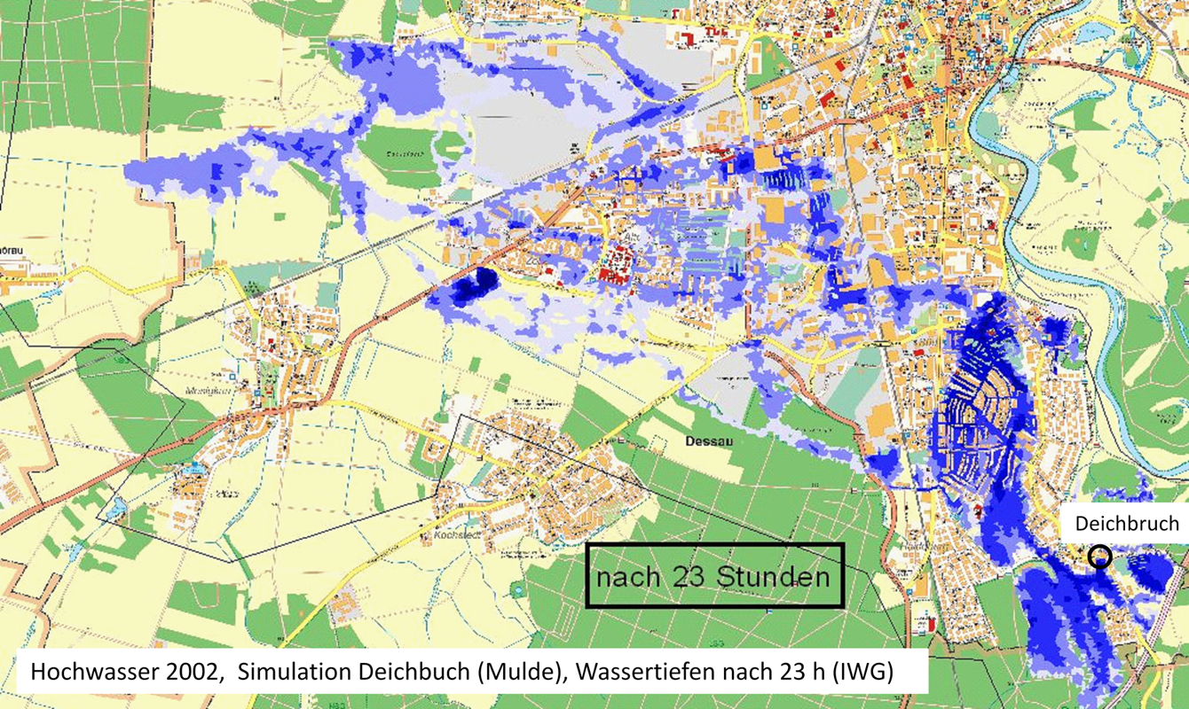
As a consequence of climate change, occurrence of heavy rainfalls increases, leading to inevitable flooding. Considering the devastating effects of floods, their assessment is essential in order to mitigate the hazard. The main goal of the project is to develop the relevant indicators for large scale hazard and risk analyses based on a deepened knowledge of the dynamic processes and impacts of extreme events.
Directive 2007/60/EC, established by the European parliament, requires member states to prepare flood hazard maps and flood risk maps. Such preliminary evaluations provide limited information about the extreme consequences of floods. As a further step, we aim at a quantitative assessment of the dynamic effects of extreme flooding, with focus on critical infrastructures.
For this purpose, additional to the events with high statistical recurrence intervals, cascade scenarios will be investigated, which could form as a result of transmission of critical state variables. Both fluvial and pluvial flooding will be considered, while applying and examining different 2D numerical models.


