
Heat exposure is driven by climate change and population dynamics. We disentangled these drivers and show how observational and projection biases may influence future heat exposure.
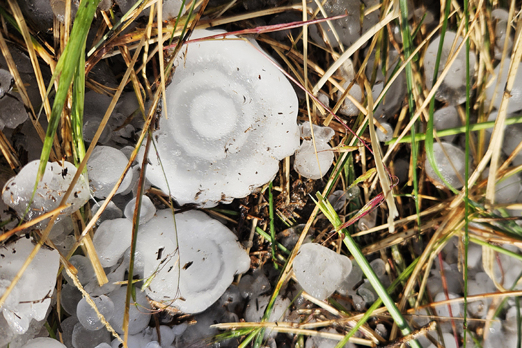
3 things to know about climate change and hail risk
The new policy brief from IRDR presents different examples to developing science-based disaster risk reduction (DRR) products, with examples from CEDIM/Risklayer.
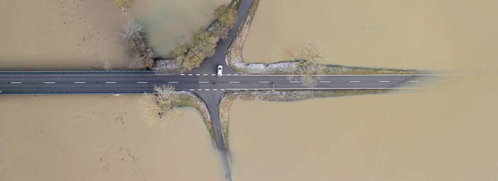
Simulating streamflow values with WRF-Hydro by using not yet observed meteorological droughts
link

KIT researchers are committed to strengthening rural communities in order to prepare them strategically for climate adaptation measures.

Here you find older News.